 ZEROIQ'S
Back to overview
PROBLEM STATEMENT 26037
Collision Intelligence
Real-Time Adaptive Navigation for Unstructured Indian Environments
PROTOTYPE DEMONSTRATION · PS 26037
Collision Intelligence Prototype - System Overview
Demonstrating the Camera + LiDAR + Radar sensor fusion and real-time obstacle detection.
Simulated Navigation on Unstructured Indian Roads
Vehicle simulation demonstrating real-time obstacle avoidance and path planning using Hybrid A* and NLMPC in chaotic traffic scenarios.
Collision Intelligence
Camera, LiDAR and Radar are fused into graded traversability, prediction, Hybrid A* and NLMPC for real-time replanning in free space.
VIEW SUBMITTED SIH PRESENTATIONEXISTING APPROACH
←→OUR SYSTEM
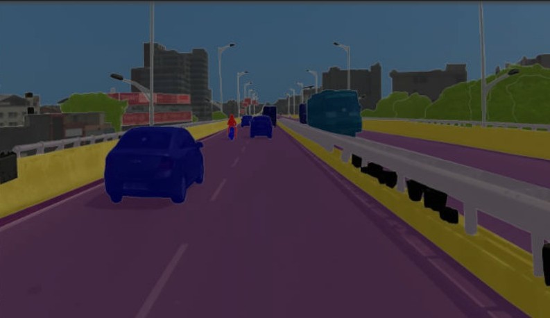
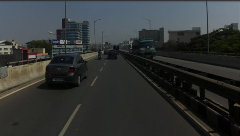
SYSTEM VISUALIZATION
The problem
Path planning built for structured, well-marked roads breaks down on Indian streets, where the environment itself is the source of uncertainty.
- Weak or absent lane markings
- Potholes and irregular road geometry
- Pedestrians and two-wheelers in shared space
- Cattle and other unpredictable agents
- Mixed, dense, and chaotic traffic behavior
Why three sensors
No single sensor is a point of failure - each covers a gap the others leave open.
CAMERA
Semantic understanding
Segmentation, agent classification, scene context
LIDAR
Geometry / traversability
Point cloud residuals, surface cost estimation
RADAR
Motion / robustness
Velocity, low-visibility resilience, redundancy
Fusion Layer
Camera + LiDAR + Radar
Real-time planning
The planner continuously re-evaluates candidate paths against a live traversability map as agents move.
SYSTEM VISUALIZATION - agents tracked this cycle
REPLANNINGPath Search
Hybrid A*
Trajectory Opt.
NLMPC